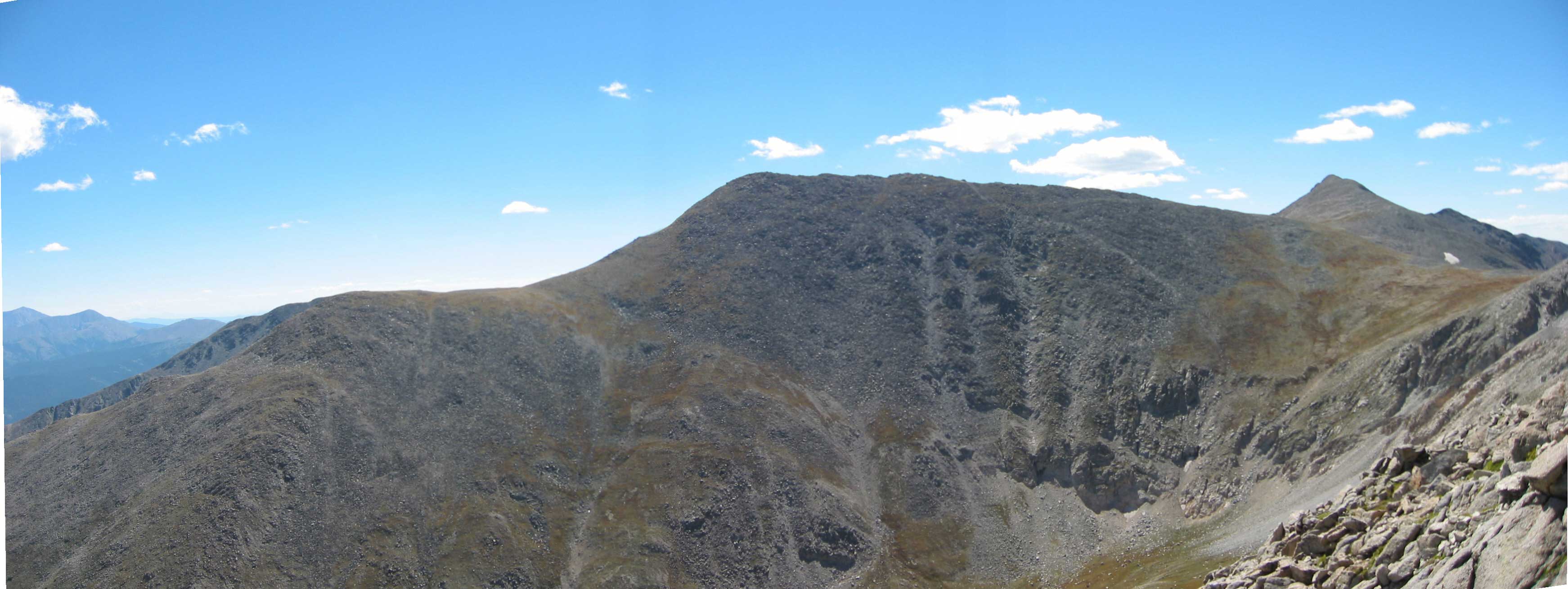
September 1st, 2003
| Length | 14-15 miles |
| Elevation gain | ~ 5,500 feet |
| Weather conditions | optimal clear, cloudless skies until about 2pm, then light, spotty clouds through late evening. Zero precipitation, temperatures comfortable, wind light |
| Start/End time | 5:15am/5:30pm | Driving distance | ~ 3h 30m |

Jared and I began this brute of a hike by driving out from Boulder, Co at about 1:30 in the morning on roughly two hours of sleep apiece. The early morning drive to the southern edge of the Sawatch range was as beautiful as an edgy, coffee-fueled drive through absolutely empty country highways could possibly be. We encountered more elk than people (two large elk, one female and then a male about half a mile further down the road, fearlessly standing in the midst of the blacktop) on the 285 as we rocketed south. After three hours of level driving we reached the Chaffee County 140 and turned west towards the mountains. From the 140 there are 1.7 paved miles until a north turn onto the county 250, an improved dirt road. This and the 252 lead to the Blank Gulch Trailhead. At no time does the road degenerate mcuh beyond "improved" dirt road status. A car with three to four inches of ground clearance should handle most of the limited ruts, potholes and rocks though the going would be slow. Our Nissan Pathfinder ate the road alive. The road directions and distances listed in Gerry Roach's book Colorado's Fourteeners are correct and were our guide; they should be yours too.
By 5:15 we had parked the car and hit the trail. Conditions in the morning were foggy and mist, but the base of the Mt. Shavano Trail branches from the well marked (and signed) Colorado Trail. We began at a quick clip but slowed some as the trail steepened. The first portion of the trail is steep, rocky going through light forest. After the first stream crossing we lost the trail and spent a little time following game trails (and lost hiker trails) before rounding back onto the main path. At an unmistakeably steep scree pile we diverged from the trail to take sunrise photos, at approximately six am.
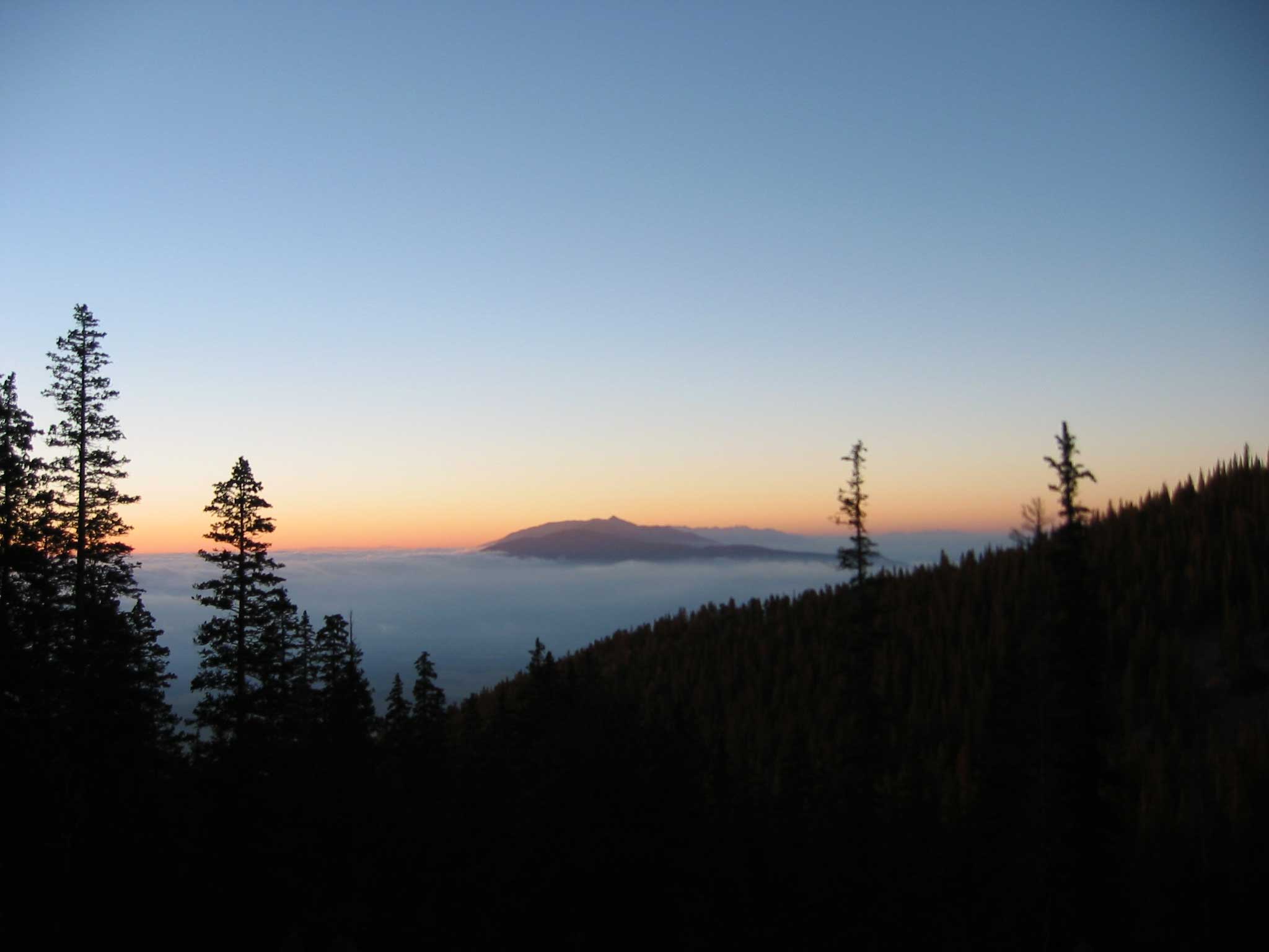
From here we beat west and slightly north towards the bowl which when snow-covered contains the Angel of Shavano, a class 2 snow route. The route was bare and dry and we made a bee-line for the weakness at the very back of the bowl (where the center stream cascades down). Near the top of this line, the stream intersects the class 1 hiking trail and from here we swung south (right) and headed more or less straight up the talus towards the summit of Shavano. The route was hard going and surprisingly steep and we did not summit until almost 10:30am.
From the summit of Shavano (14,229 feet) we dipped to a 13,700 foot connecting saddle and ran back up the other side to grab Mt. Tabegauche (14,155 feet) at almost noon. The trail up to Tabegauche was again steep talus, though the route was much more forgiving than the final slope up to Shavano itself. We hung around Tabegauche for a little less than half an hour, finishing off our third liter of water apiece and a fair fraction of our trail peanuts, before aiming for Jones peak. Both of us were moving fairly slowly, particularly myself on any sort of uphill climb, but weather conditions were so remarkably beautiful and fantastic that we decided to try and finish off the class 3 connecting loop listed in Roach's book. The loop continued from the peak of Tabegauche to the south and east to a lower connecting saddle. From here an exposed ridge dotted with "Class 3 scrambling over and around several obnoxious, rotten towers" (Roach, 96). In his own words, "You are committed now!"
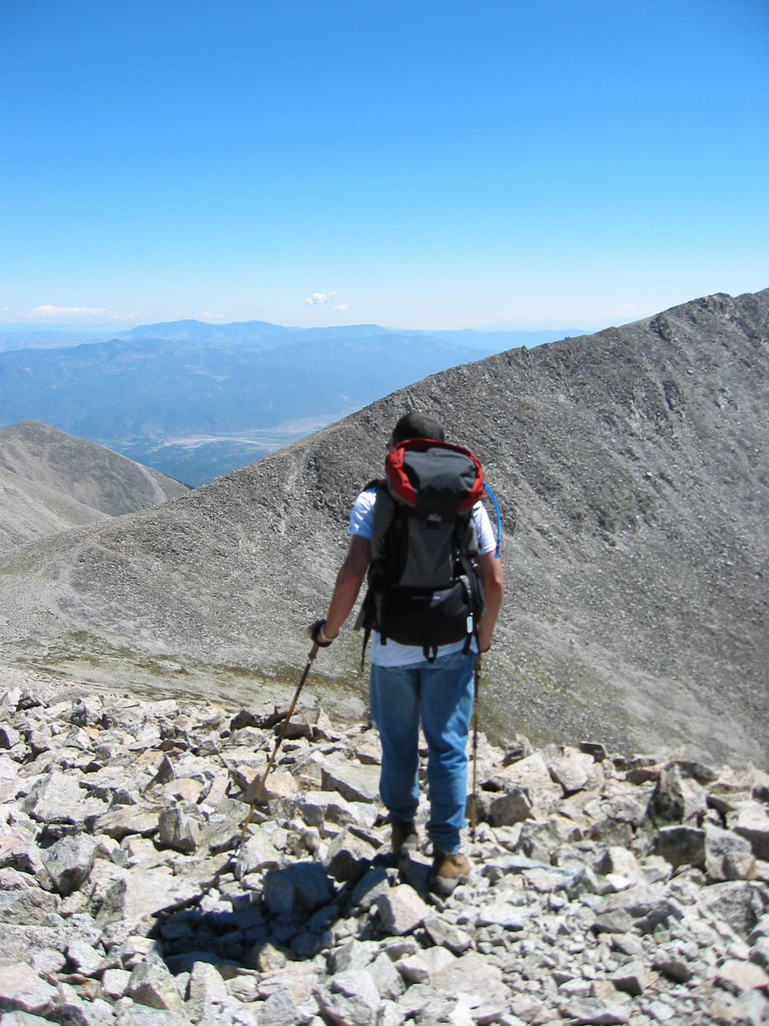
We found the ridge hard, slow going, but in all respects incredibly enjoyable. It took a good hour or more to complete the one mile ridge traverse, and several times we were severely tempted to descend into the inviting basin beneath us. Fears of potential unseen cliff bands and a dogged determination to climb no further than we must kept us high on the ridge. Most of our time was actually spent clambering over the towers, following the spine of the ridge as it meandered. We found this position neither particularly difficult to maintain, nor particularly exposed to the fall on either side. Nearly all the "difficult" sections expose you to at most a ten foot fall onto rocky ledges, and all the true exposure happens on portions of the route which are comparatively solid. A fall in this location could be remarkably bad, owing to the isolation and difficulty of the upcoming descent after Jones peak. Both of us were feeling a little light-headed and headachy at this point, owing to altitude, exertion and elevation, and we were very, very wary of any such slip. I was amazed at the quality and variety of vegetation growing at this altitude and this far under the rain shadow and took a few pictures of the plants thrusting through the breaks in the talus fields. The summit register on Point 13,712 (the only one we signed), which marks the beginning of the ridge traverse, was remarkably empty.
A sprightly mountain goat led the way to Jones peak (13,604) and we took a short break for photos before descending a collosal scree field to Shavano Lake below. The descent was about 2-300 feet on talus and rock and then another 7-800 feet at least on dusty, sandy scree. We took to plunge-stepping down the slope, and Jared was soon far and away with his Leki poles. The pictures I took later from across the valley cannot do the descent justice, but perhaps by examining this and the images in Jared's own report you may gain a better understanding of the magnitude of this drop.
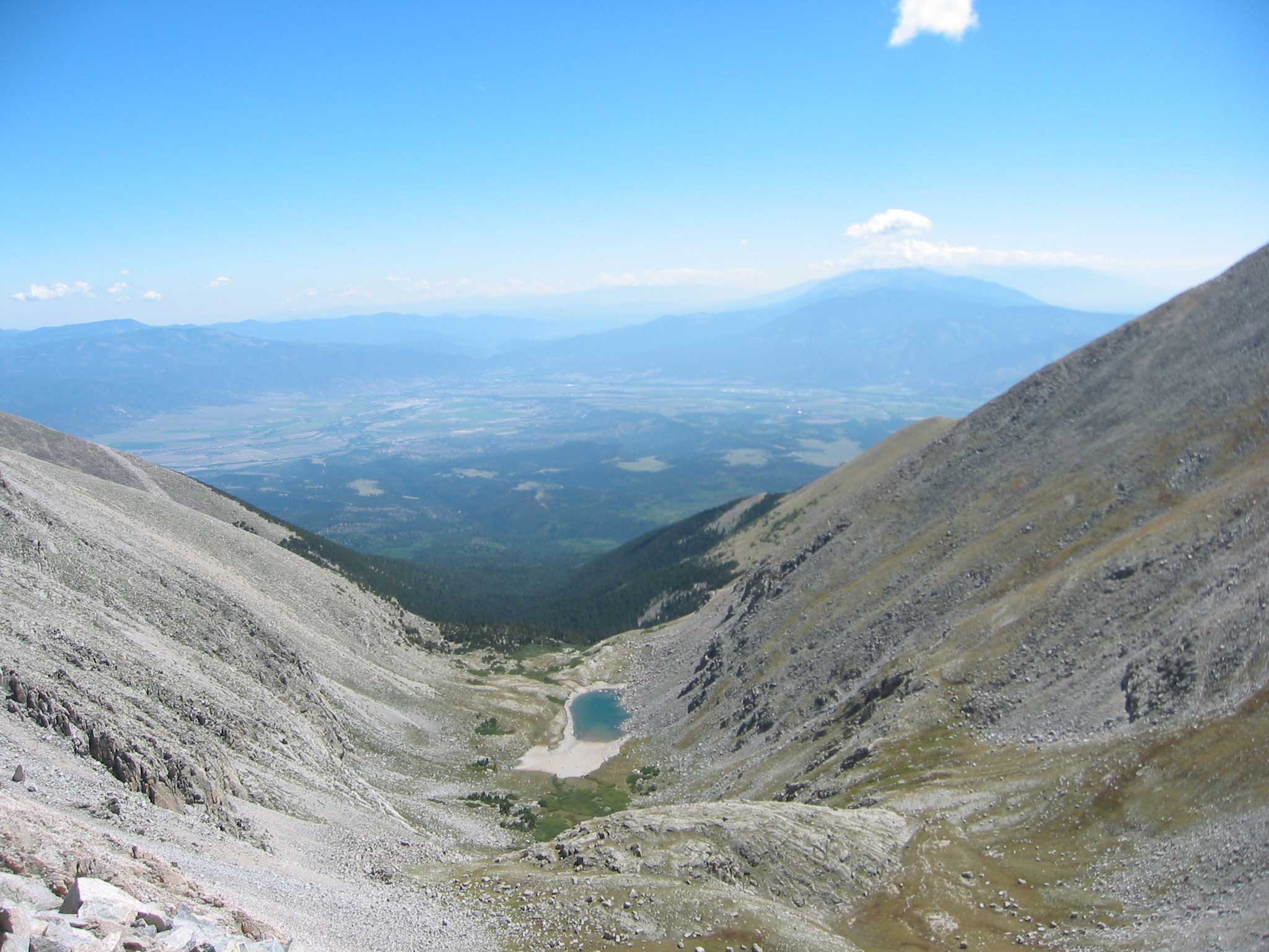
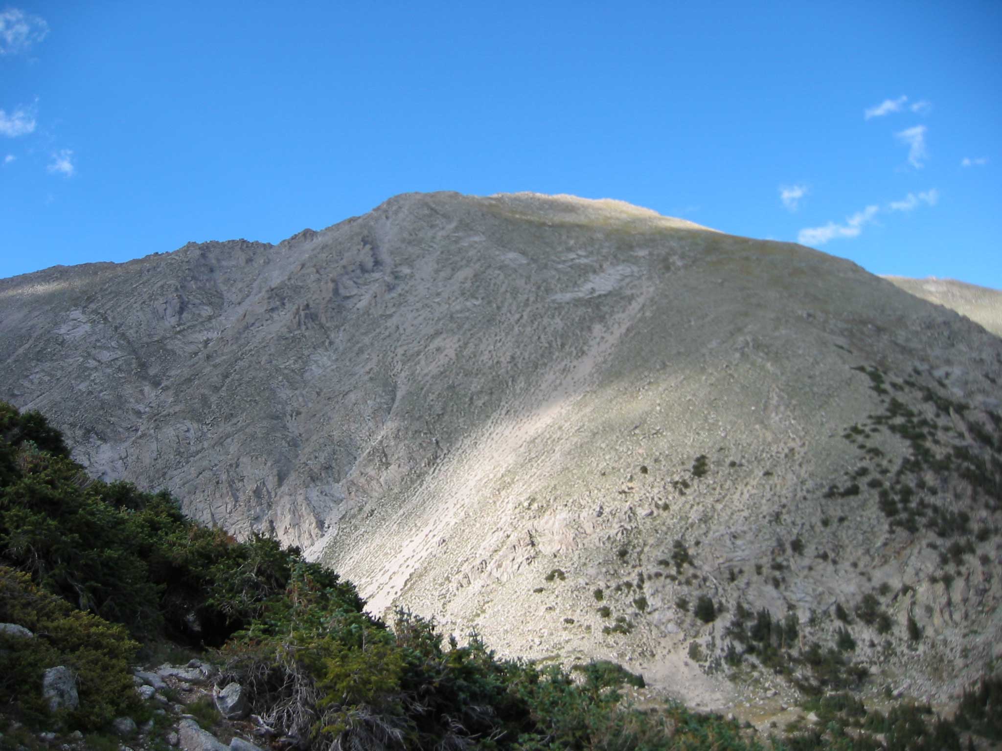
Once our legs had ceased their shaking we turned our attention to the last obstacle between us and the car: a connecting traverse through unknown terrain to a difficult to find trail. Roach notes that you should:
These words are perhaps an understatement. The brush here is practically primeval, and the tree clumps are embedded with sheer cliff faces. Game trails do wind through the brush and proved a reliable guide through the densest thickets, but we chose to aim as high as possible for our traverse, to eliminate any unfortunate backtracking (we were not in a good condition for any unnecessary climbing and preferred to contour as much as humanly possible). By climbing hard early on we ascended above both tree-line and cliff-line, and from this vantage point headed directly along a contour towards a bare shoulder in the distance which we figured must mark a dog-leg in the Mt. Shavano Trail as shown on Roach's maps. In the end we came out almost two hundred feet above the trail itself. Spotting the edge of the trail was easy in the light conditions we had (we left the lake around 3pm and hit the trail by 4 or 4:30) and given our nearly perpendicular angle, but given the density of brush and slightly worse light (say later in the evening) this could have been a hairy descent. Fortunately, missing the trail would entail only a difficult descent which would sooner or later funnel into the Angel of Shavano or the stream, as long as a fairly southerly course was maintained. From those places the parking lot is not difficult to find.
Descending the trail itself was a final exercise in endurance and mental fortitude, as we stumbled down steep rocky paths swaying slightly on our feet. Jared and I had finished off the last of our water (four liters total for me, six and a half for him after we split my last nalgene) at the lake (and some very tasty dried mango), but by this point we were more dehydrated than we knew. Thankfully we hit the car by about 5:30 where Chacos and gatorade awaited (next time more water in the car, and perhaps even more water in the pack). We began to feel better immediately (especially as we rehydrated) and began the long (and again heavily coffee fueled) drive back home, arriving back in boulder at a tiring (but safe) 9pm. I fell asleep nearly instantly (well, after a long warm soak in a tub, and a short rustled together dinner) and slept for a solid twelve hours. In the morning I easily downed another two or three liters of water. Next time, even more water... goodness! :)
This was a fantastic hike, and absolutely the best possible way to hit my first fourteeners. Jared and I hike together real well and are currently contemplating a triple summit attempt in about two weeks. Next weekend, however, is Longs peak.
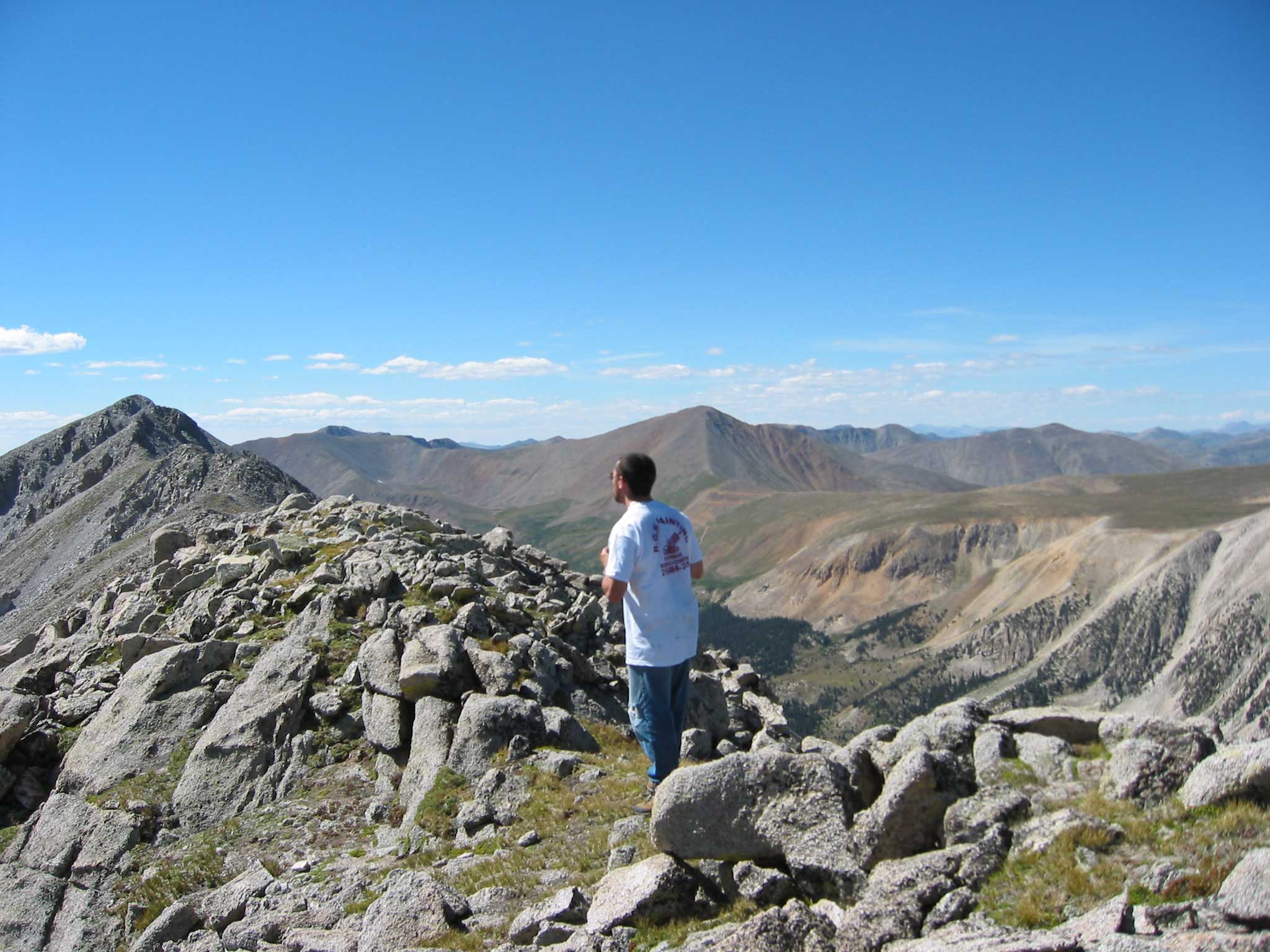
Jared's quality trip report can be found here.
